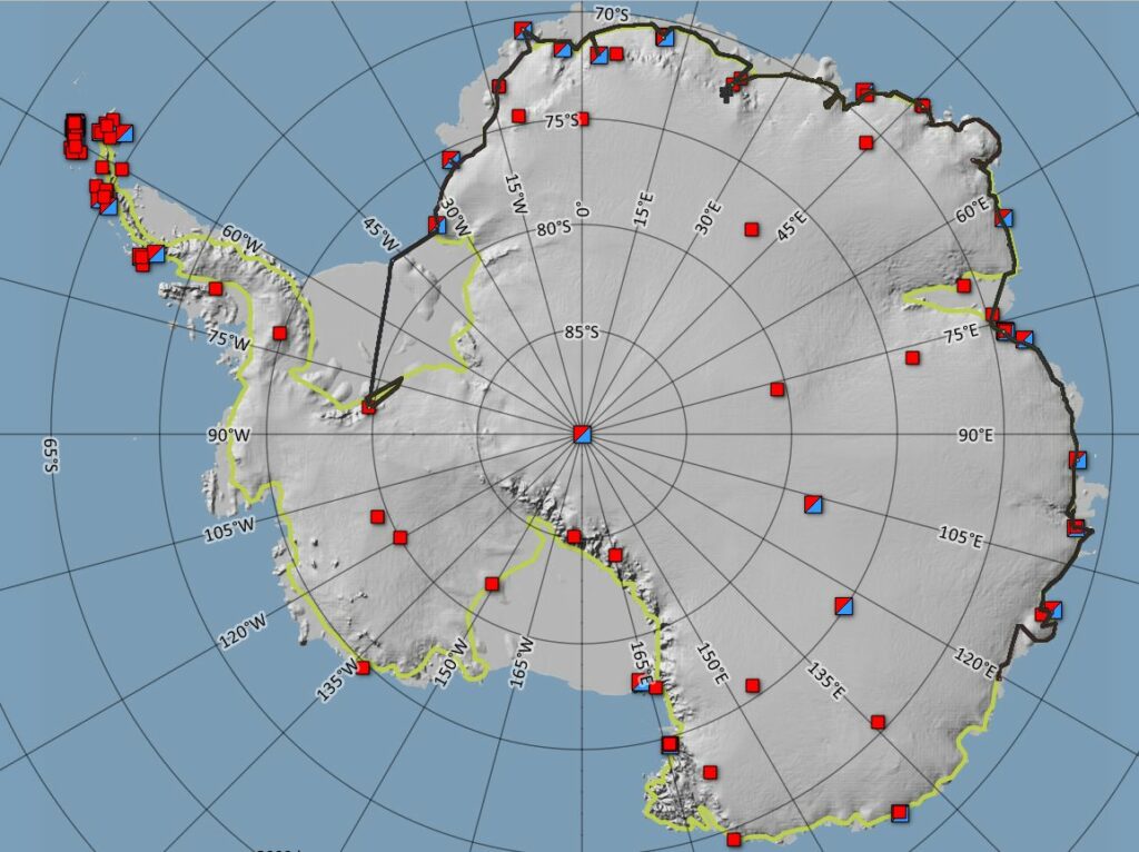

RINGS is a recently approved SCAR project activity, aimed primarily at understanding the mass balance of Antarctica, and provide independent data to rectify long-standing discrepancies between two space-based methods (gravity changes vs elevation changes). This is done by providing key data along the grounding line of Antarctica for the 3rd “input-output method”, where the volume of ice lost through “gates” along the grounding line zone can be determined once the ice thicknesses are known; many areas, especially in East Antarctica, lack such data.
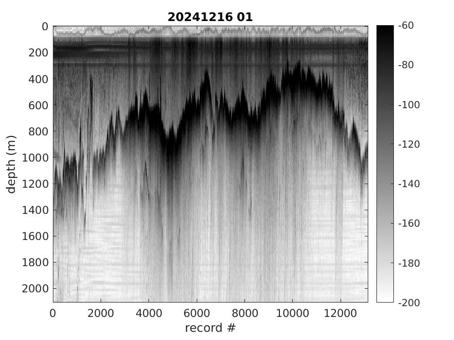
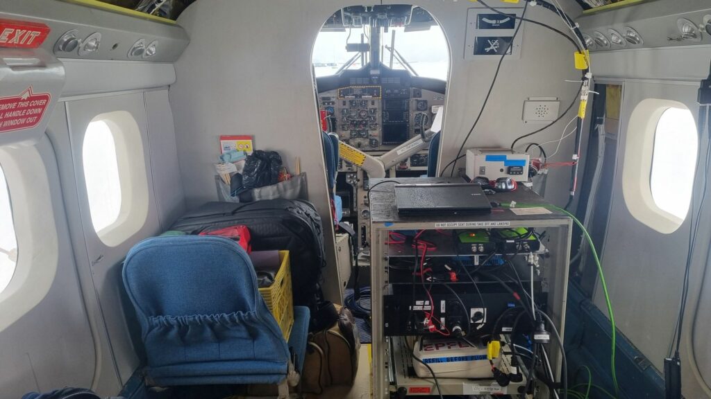
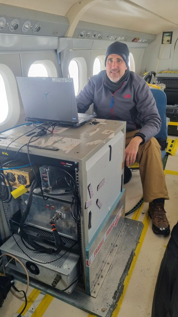
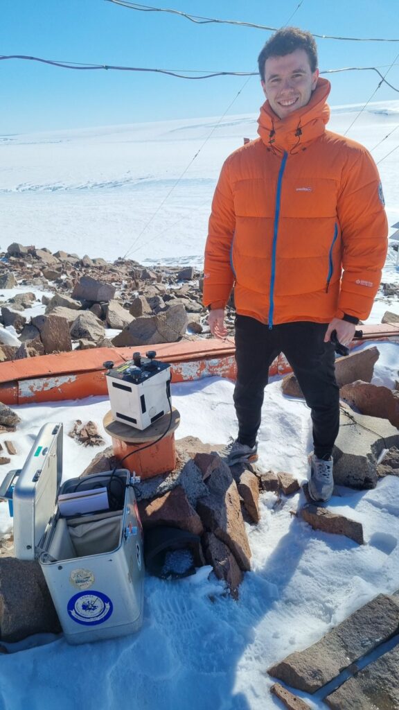
The instrument Twin-Otter of the circumnavigation (“SWIDA-RINGS”) carries a broad suite of instruments from University of Kansas, Danish DTU-Space and Swiss EPFL instruments: deep radar sounding for measuring the ice of the ice (up to 4 km), a snow radar for mapping the upper yearly snow layers (down to 30-40 m), gravity sensors to supplement the deep radar and giving information on sub-ice geology, laser scanning for measuring the ice surface (at cm-level accuracy), and atmospheric sensors for aerosol and chemical tracers in the pristine Antarctic atmosphere. The Twin-Otter setup is compact and efficient (two racks only), and will produce unique data, serving as a backbone for other RINGS efforts in the coming years.