
Current location
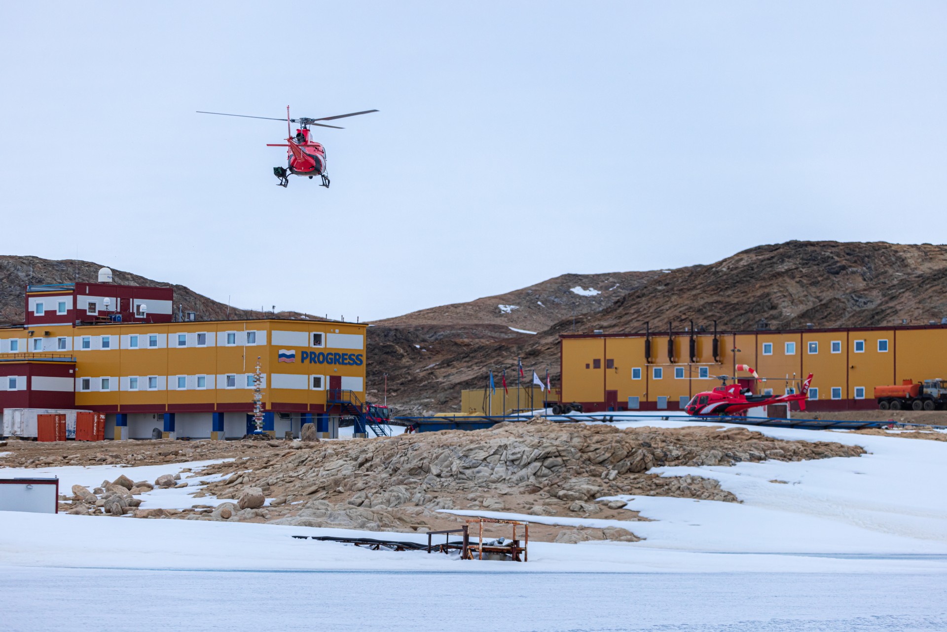
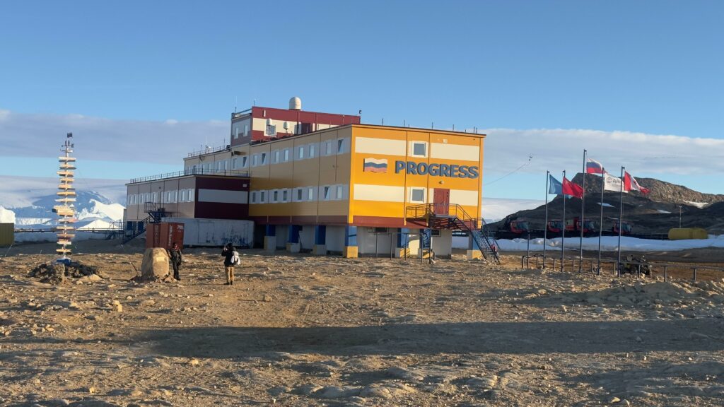
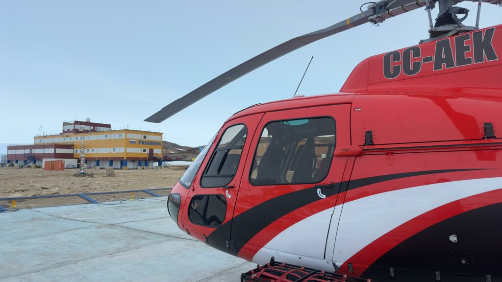
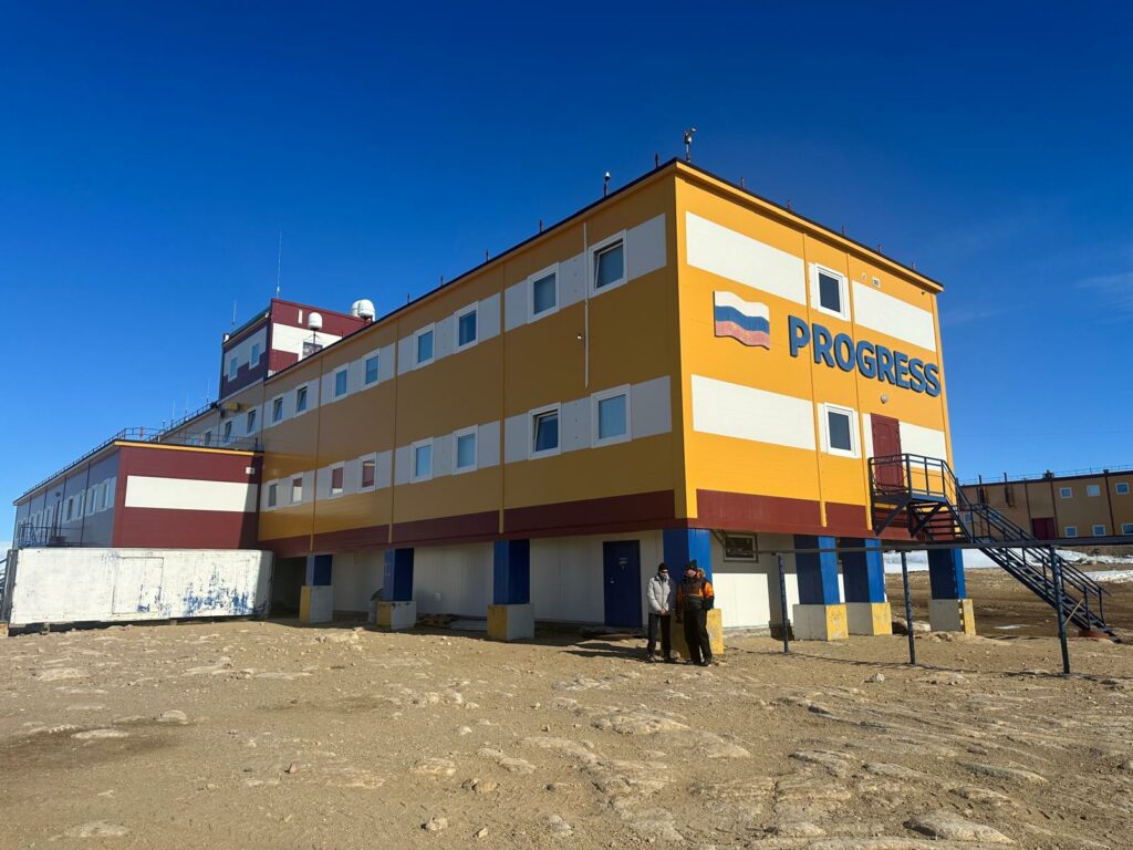
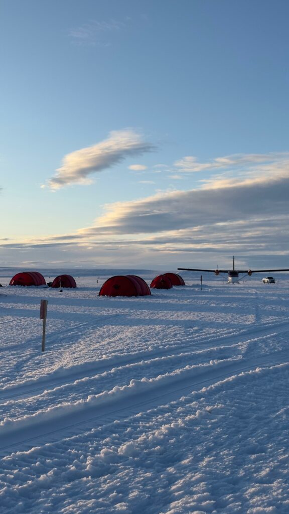
After the pause by Twin Otters KBO and DHB at Mountain Evening, the former Belarusian Antarctic station, the journey reached a pivotal moment. For a couple of days, the aircraft remained grounded, awaiting their reunion with the helicopters at Progress Station.
This stop proved crucial, as it allowed the team to strategically utilize favorable weather windows, enabling steady progress across the vast and unforgiving expanse of East Antarctica.
Despite the immense distances and the challenges of aligning optimal weather conditions across multiple critical points, including a resupply cache, the expedition achieved a remarkable logistical success. This precision ensured they could maintain momentum and make the most of every opportunity during this extraordinary Antarctic circumnavigation.
With the team now advancing along the coastline, DHB, outfitted with specialized scientific instruments like the snow radar, continues its vital mission. Its primary focus is mapping Antarctic coastal glaciers, providing invaluable data to improve our understanding of ice dynamics.
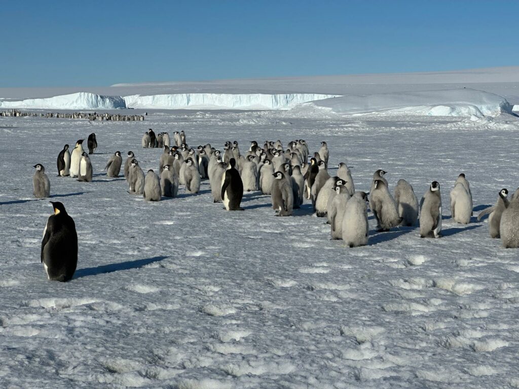
These insights are essential for contextualizing Antarctica’s role in Earth’s climate system and the long-term implications of its ice mass on global life.
This expedition highlights the importance of teamwork, careful planning, and dedication to advancing scientific knowledge in one of the most remote and challenging places on Earth.